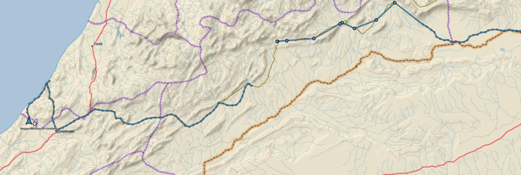
It may seem to you that the desert part of this trip has been going on for some time already, and from here it sometimes seems as if that is all there has ever been. The Sahara is huge, but at the same time as varied in landscape as anywhere else. In that respect it reminds me of being at sea…though at least the desert’s varied landscapes tend to stay where you left them rather than changing with the whim of the weather!
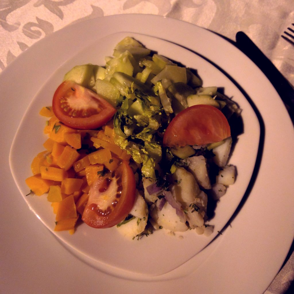
After a night in a hotel with a lovely pool and a cold beer to go with the Vegetable Tagines and nice (but cooked) salad, we were aiming to do some proper dune-driving as we tackled Erg Chigaga on the way out of the Moroccan (inland) desert section of the route.
So with tyres suitably deflated we headed into the rolling waves of dunes, steering a course in the general direction we wanted to go whilst weaving between the peaks and troughs. There were 4 main elements to the day’s navigations: To the South, a wide area of shallow, choppy riverbed made of crusted mud and rocky patches. To the North, a rocky shoreline along the edge of the Flat Dry Lake ahead. In the middle, the open sea of dunes we aimed to cross.
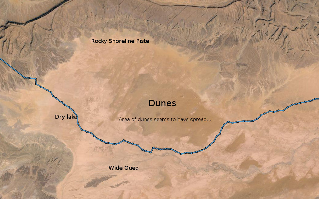
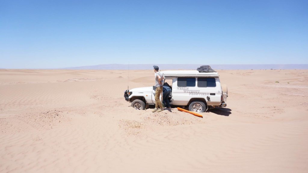
We started out having a lot of fun with large, widely spaced dunes and little banks of sand and took the time to play and take photos. However, as we then progressed across a flat plain towards the next set of dunes on the horizon, we seemed to be being headed South of our rough route guide. This effect grew more pronounced as the dunes surrounded us, we could go mostly where we wanted but always being pushed South by the formations of wave-like dunes. We’d find some tracks, which would then disappear or curl back the way we came. So we’d cut our own path until we hit the next likely looking track. Skirting the Southern edge of some impassable feature, we’d point again at the target waypoint…until the next obstacle. After a while it looked as if we’d passed the dunes and were on the beginnings of the dry lake, only for that to turn into a rough Oued which would push us further South.
The final indignity was when we followed a collection of tracks heading exactly where we wanted to go…only to find it led to an encampment of French 4x4s, beyond which was a sea of short dunes of the sort one could easily get stuck in. Lots of fun if you have another vehicle with you to help pull you out in an emergency, but not a sensible place to go solo! We headed South again.
In the end, we skirted the Southern fringes of Erg Chigaga over small dunes and stepped oueds until the wide expanse of the dry lake allowed us to steer straight and make speed towards the far waypoint, and the track towards Foum Zguid. This turned out to be 25km of the worst sort of bone-jarring, Troopy-shaking, rocky, large-pebbled track with random deep little oued crossings. Finding a nice smooth tarmac road at the end of it was universally greeted with a sigh of relief! And so, via a photo stop near some impressive scenery, we made it to the night’s Hotel + Car Park Camping stop. Complete with pool (I went straight in), and the predictable evening meal of Vegetable Tagines.
What next? We struck out for the Atlantic coast and the sea arches of Lezgira beach.
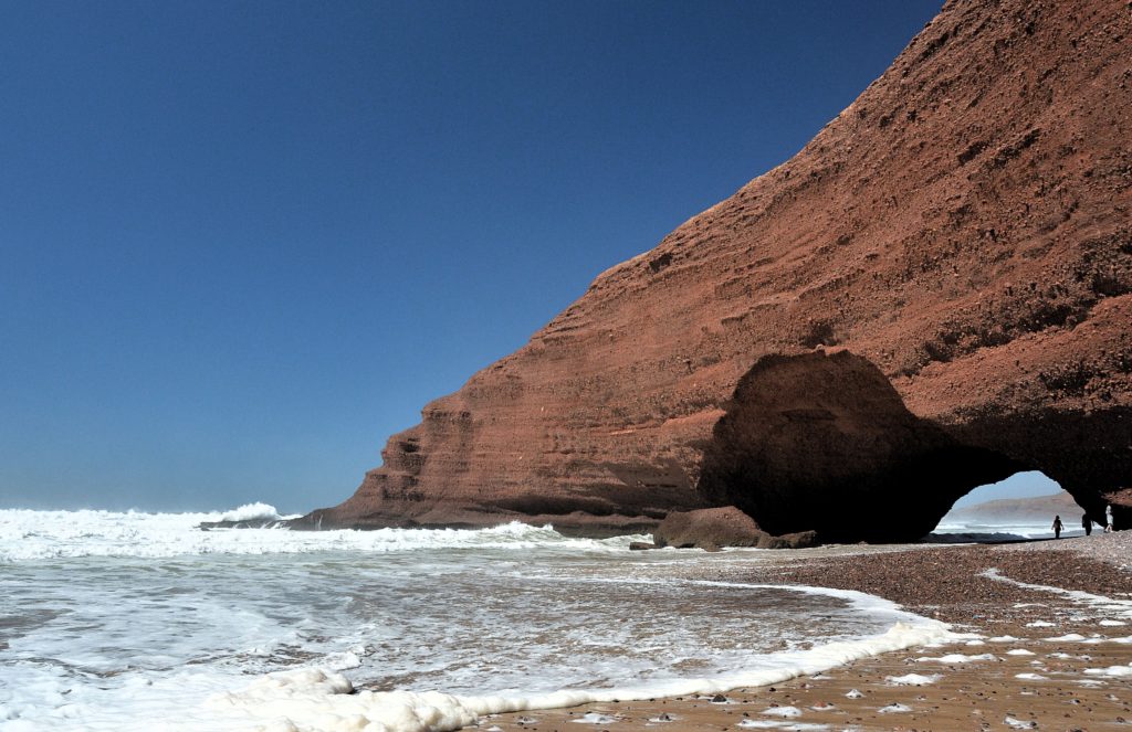
It would have been lovely to stay there, where there was also the possibility of some paragliding, but after taking a walk along the beach we still had to make some miles towards the upcoming Plage Blanche section.

